Postwar reconstruction is often framed as a technical project—restoring damaged infrastructure and rebuilding housing—yet its most persistent bottlenecks are political and legal. In practice, reconstruction frequently requires the reconfiguration of property rights, land boundaries, compensation rules, and relocation pathways. These issues are difficult not because stakeholders are irrational, but because reconstruction decisions produce uneven and often irreversible impacts on livelihoods, business continuity, community ties, and long-term asset values. This manuscript argues that “boundary → rights → compensation → relocation” forms a causal chain that can stall entire schedules: when boundaries cannot be confirmed, land acquisition, land readjustment, and compensation valuation are delayed, producing cascading uncertainty and distrust. Compensation disputes are rarely about price alone; they also hinge on legitimacy, transparency, and the perceived fairness of procedures—especially when losses such as downtime, social fragmentation, or cultural attachments cannot be reduced to unit costs. Relocation further amplifies conflict by revealing heterogeneity across households (owners vs. tenants, elderly households, mixed-use properties, shared ownership, unresolved inheritance), turning a binary “support/oppose” debate into a complex negotiation about conditions and feasibility. To address these dynamics, the paper proposes a stakeholder mapping method that decomposes “residents” into rights-based categories and plots conflict likelihood along five axes: burden, benefit, time horizon, bargaining power, and reversibility. The method helps practitioners identify “conflict intersections,” such as high-burden/low-benefit parcels (e.g., small corner shops affected by road widening) or high-uncertainty/high-impact cases (e.g., unclear boundaries and shared ownership) that freeze overall progress. Finally, the paper reframes smart-city technologies not as instruments of surveillance or efficiency alone, but as tools to reduce negotiation friction—through rights visualization, standardized scenario comparison, and administrative modularization of title and registration work—thereby accelerating recovery while reducing social fragmentation.
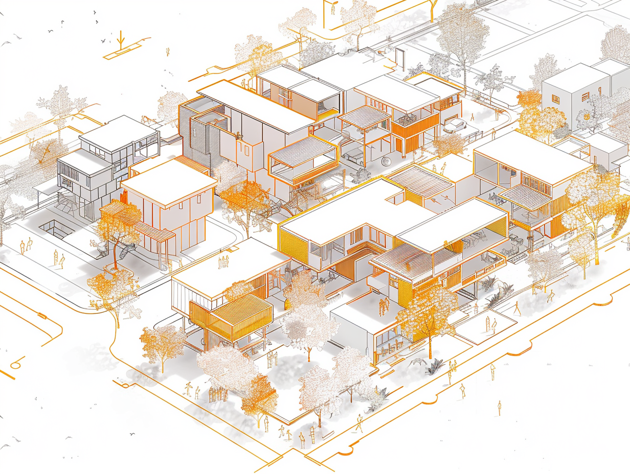
Reconstruction after large-scale destruction is commonly described as the restoration of buildings and infrastructure. Yet the decisive constraints are often political and legal rather than technical. When a city “rebuilds,” it frequently reallocates land, changes access, introduces new public space, and modifies risk protections—actions that redistribute burdens and benefits across stakeholders. In that sense, reconstruction is not merely construction; it is a process of reconfiguring rights and livelihoods.
This article focuses on why consensus building becomes difficult in postwar reconstruction, and how conflict points can be clarified through stakeholder mapping. It centers on six recurring themes—boundaries, rights relations, compensation, relocation, and stakeholder structure—and proposes a practical mapping approach that makes disputes legible early, before distrust hardens into stalemate.
1. Why Boundaries Become the First Flashpoint
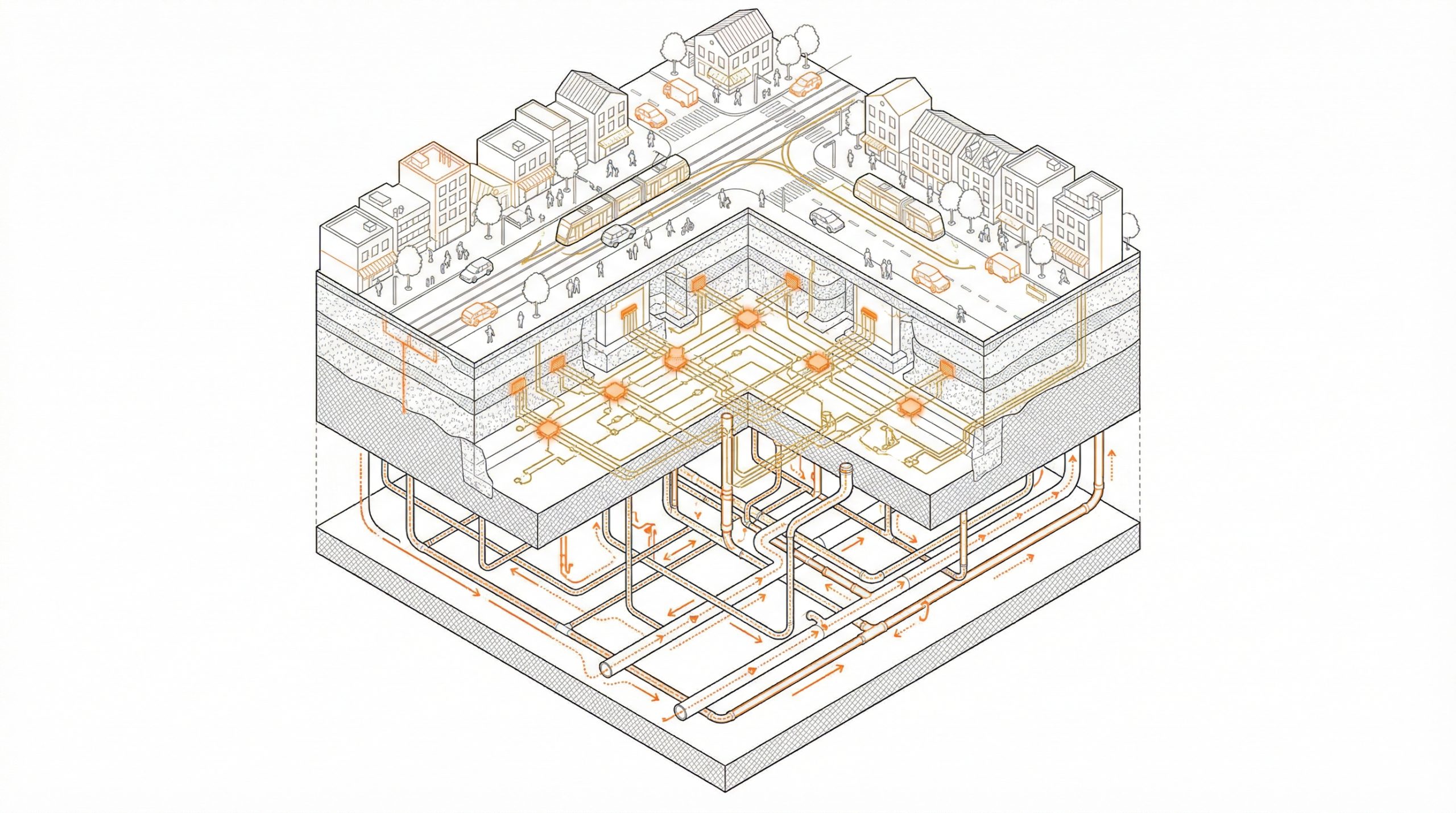
After destruction, physical markers that previously supported boundary recognition—fences, curbs, stakes, and walls—may disappear. This creates a gap between “felt boundaries” on the ground and formal boundaries in records. Once boundary certainty erodes, downstream processes—land purchase, exchange of rights (e.g., replotting), and compensation valuation—can be delayed in sequence.
Boundary uncertainty is not a minor technical defect; it becomes a schedule-level bottleneck. Studies on cadastre and boundary-related governance emphasize that clarifying ownership, parcel geometry, and related records is a prerequisite for coordinated recovery and infrastructure restoration (Kyoto University repository paper, n.d.). When boundary confirmation is postponed, the project cannot reliably define the object of acquisition or the unit of compensation, and uncertainty spreads throughout the district.
2. Compensation Disputes Are About Procedure, Not Only Price
Compensation debates are often mischaracterized as disputes over “how much money.” In reality, conflict frequently arises because compensation is embedded in institutional design choices that are hard to explain without specialized literacy. For example, land readjustment schemes allocate land for roads and parks while replotting remaining parcels; this can introduce “burden sharing” structures that residents interpret as expropriation if the logic is not understood (Ministry of Land, Infrastructure, Transport and Tourism [MLIT], n.d.).
Moreover, real losses include elements that are difficult to price: business interruption, loss of foot traffic, erosion of neighborhood networks, and psychological insecurity. When institutions are described in abstract terms, residents experience a procedural asymmetry: governments and experts speak in legal and planning language, while households speak in the vocabulary of everyday survival. In past Japanese recovery contexts, distrust has been reported to accelerate through rumor and simplified narratives such as “readjustment means your land will be taken” (Nippyo, n.d.). In these conditions, legitimacy—clarity, comparability, and transparent exceptions—often matters as much as valuation.
3. Relocation Exposes 100 Different Household Constraints
Relocation and displacement are rarely uniform. Even within a single district, constraints differ widely across elderly households, tenants, mixed-use buildings, small businesses, farmland owners, and properties with layered rights (owner–leaseholder–subtenant structures). Additional complexities arise in cases of shared ownership, unresolved inheritance, or missing title holders. These are not edge cases; they can become the “hard core” that stops the process.
Relocation programs and collective movement schemes also generate heavy administrative work: surveying, subdividing parcels, processing registration, and coordinating acquisitions. Recovery archives emphasize that land title and registration workloads can surge and that outsourcing or functional specialization can be necessary to keep recovery programs moving (Reconstruction Agency, n.d.). If the project pressures a deadline without solving feasibility constraints, the negotiation dynamic often deteriorates: early movers appear to benefit, those who cannot move become stigmatized, and polarization becomes self-reinforcing.
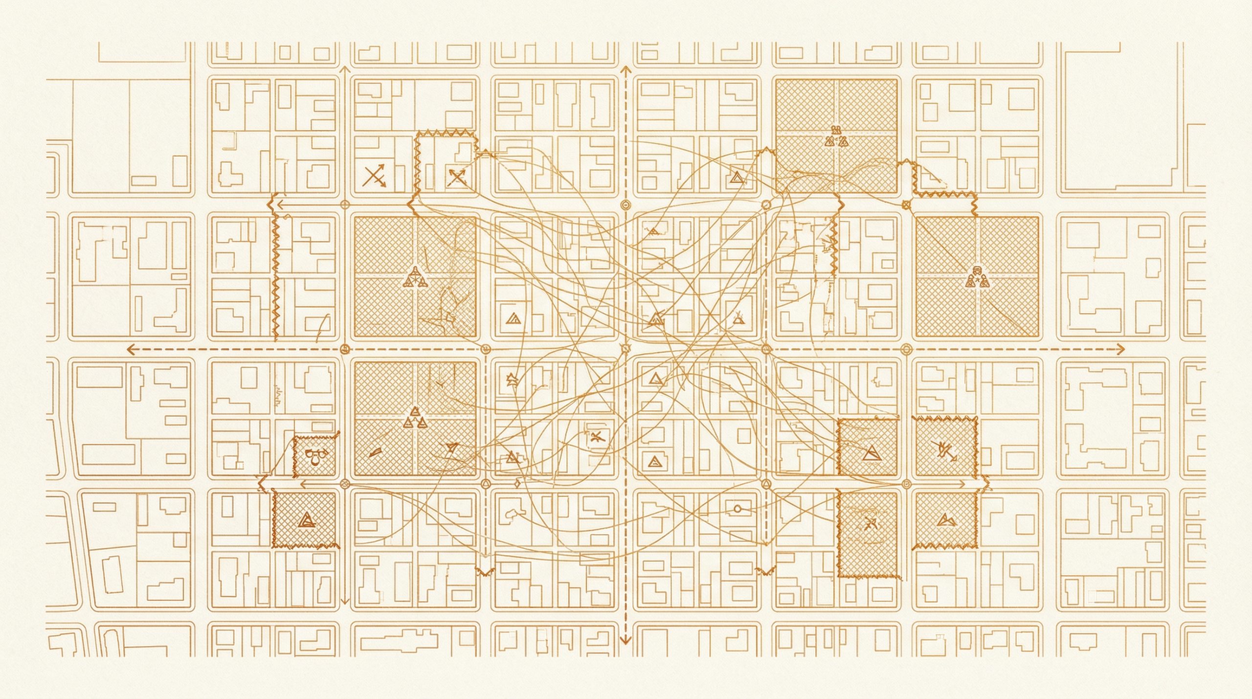
4. Making the “Structure of Dispute” Visible Through Stakeholder Mapping
Consensus building cannot rely on persuasion alone; it requires structural diagnosis. Stakeholder mapping is useful because it reveals predictable intersections of high conflict.
Step A: Decompose stakeholders by rights, not by “residents”
Avoid treating the district as a single community. Categorize stakeholders by rights relations, such as:
- Owner-occupiers vs. owners of rental properties vs. tenants
- Mixed-use shop-houses (business continuity is critical)
- Farmland/empty-lot holders (benefit perceptions differ)
- Shared ownership, unresolved inheritance, missing parties (high delay risk)
- Government units (planning, land acquisition, welfare), utilities, lenders
Step B: Plot conflict drivers along five axes
Place each stakeholder category on five axes:
- Burden (reduction, relocation, downtime)
- Benefit (risk reduction, accessibility, long-term value)
- Time horizon (immediate vs. tolerable delay)
- Bargaining power (legal leverage, capital, information)
- Reversibility (whether choices are irreversible)
Step C: Identify “conflict intersections”
Typical conflict intersections include:
- High burden × low benefit (e.g., small corner shop parcels reduced by road widening)
- High burden × low bargaining power (e.g., tenants, elderly households with limited information access)
- High uncertainty × high impact (e.g., unclear boundaries or shared titles that freeze the schedule)
Once these intersections are visible, practitioners can concentrate resources—legal support, procedural transparency, tailored compensation logic, and relocation feasibility packages—where they prevent district-wide paralysis.
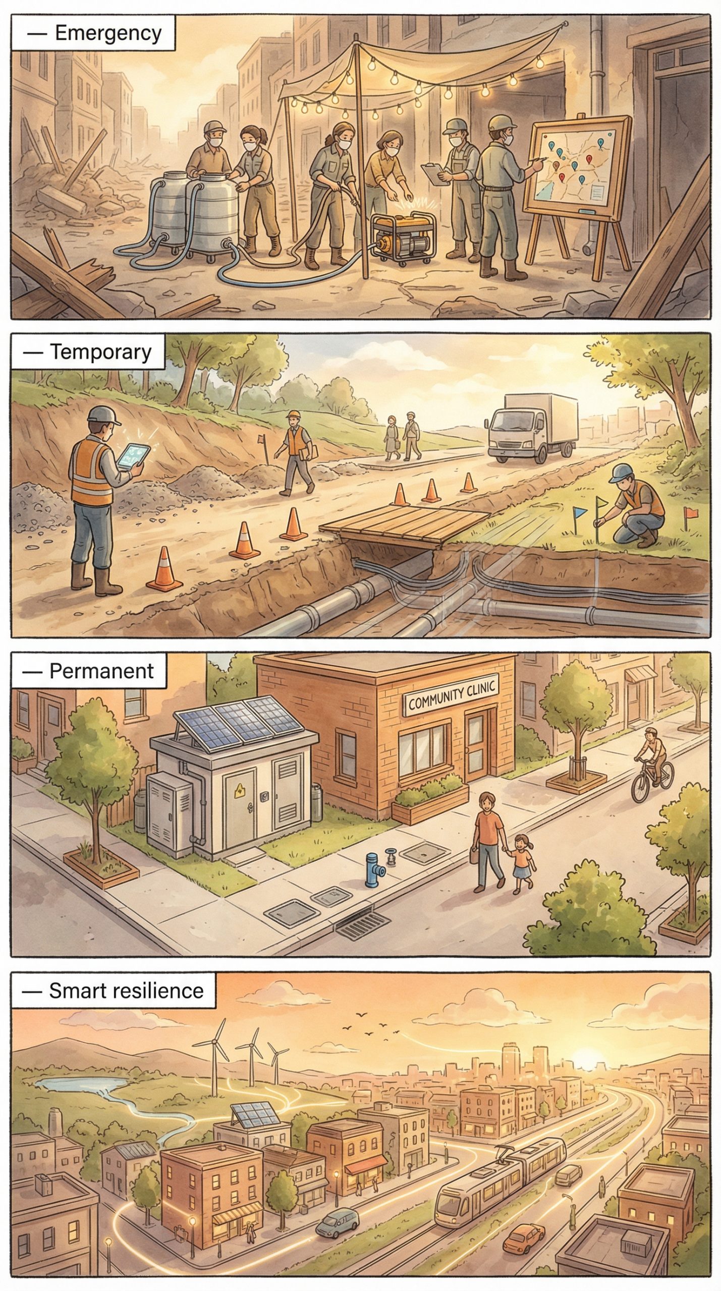
5. Future-City Tools as “Friction Reduction” for Negotiation
Smart-city tools are often discussed as optimization systems, but in reconstruction their most constructive role is reducing negotiation friction:
- Digital rights and boundary visualization: make differences between records and on-site conditions understandable to non-experts
- Standardized scenario comparison: compare Plan A/Plan B using the same indicators for burden, benefit, and schedule
- Administrative modularization: outsource or specialize title/registration work to prevent bottlenecks (Reconstruction Agency, n.d.)
This framing shifts technology from “control” to “fair process enablement.” By making disputes legible and options comparable, technology can reduce rumor-driven mistrust and help maintain social cohesion during long recovery timelines.
Conclusion
Postwar reconstruction consensus is difficult because it requires irreversible changes to rights and livelihoods. The chain of boundary confirmation, rights processing, compensation valuation, and relocation feasibility means that one unresolved node can halt the entire schedule. Stakeholder mapping offers a practical way to visualize the structure of dispute, identify conflict intersections, and target early interventions. Future-city technologies are most valuable when they support transparency, comparability, and administrative throughput—accelerating recovery while reducing fragmentation.
Reference (main)
Kyoto University Repository paper on cadastral/boundary issues. (n.d.). [PDF]. Retrieved February 22, 2026,
Ministry of Land, Infrastructure, Transport and Tourism. (n.d.). Land readjustment (土地区画整理) overview page. Retrieved February 22, 2026.
Reconstruction Agency (Japan). (n.d.). Archive: Lessons learned—land acquisition/relocation administration. Retrieved February 22, 2026.
Gwork Tank (PDF). (n.d.). [Urban recovery / consensus building related PDF]. Retrieved February 22, 2026.